EchoTrace: Pinger Tracking for Divers
Always on the map
Plotted from the surface
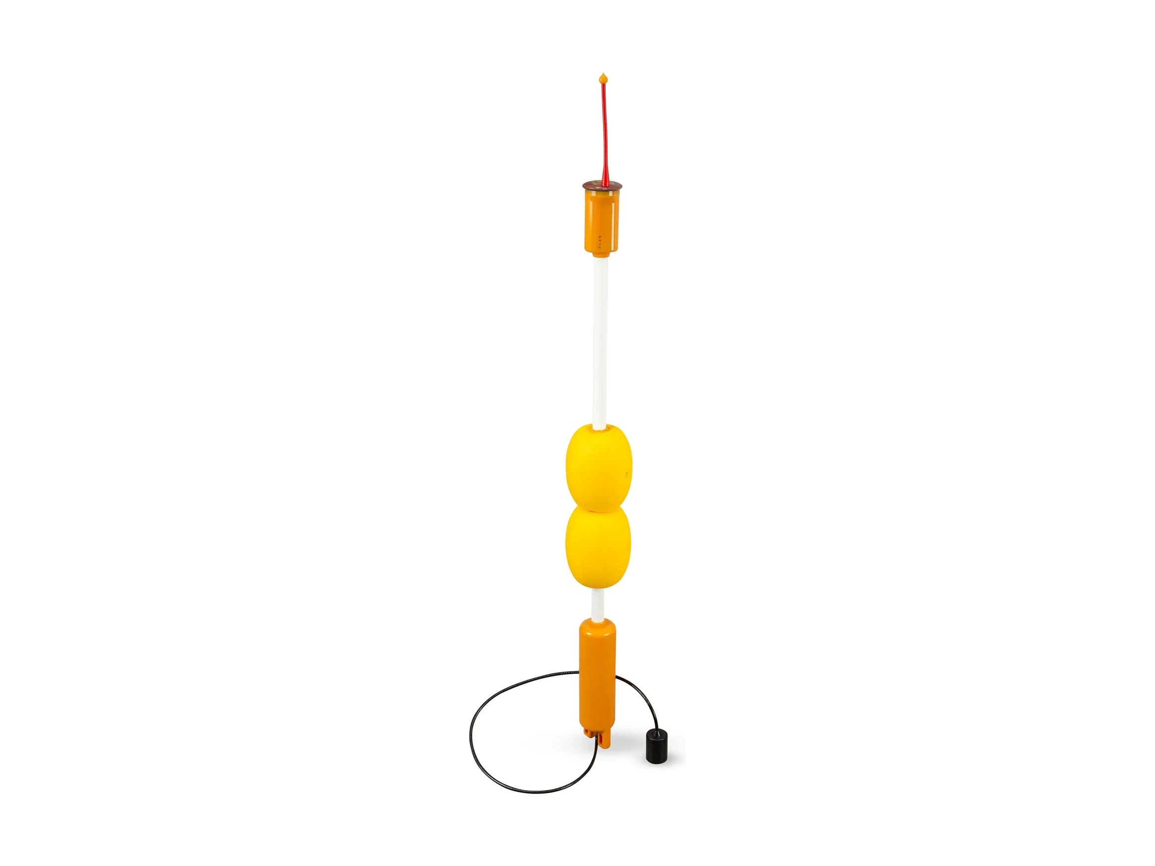
EchoTrace is a GPS-intelligent buoy tracking system that locates a diver — or any ROV, AUV or instrument — in latitude, longitude and depth, in real time. One pinger attaches to the object — no cable, no pairing. For divers, that pinger can be a SubVox telephone — position and voice from one device.
What it does
- Absolute geographic coordinates — the four buoys compare each pinger pulse's arrival time and return the object's latitude, longitude and depth, updated continuously
- Voice link — up to 255 divers carry a SubVox telephone as their pinger, located as each finishes speaking
- Return guidance — the operator reads the object's bearing and distance to any chosen point, to guide a diver or vehicle back to the boat
- Track recording — the host software logs the object's full path and exports it to any charting or mapping software
Distinctive features
- Working area up to 1500 × 1500 m — coverage inside the buoy array
- Depth rating to 300 m (pinger) — 100 m on the SubVox telephone
- Zero calibration — deploy the buoys, drop the pinger, start tracking. No seabed gear, no setup sequence
- Autonomous pinger — mechanical mount to any object, automatic activation in water, no link to the surface
- GNSS-referenced buoys — self-powered and surface-anchored, nothing on the seabed
- GNSS-receiver emulation — standard NMEA 0183, into any charting or control software
- Single-case portable system — all components fit in one carry-on case, small-boat deployable
Most underwater tracking stops at the edge of the array. EchoTrace pushes that edge out — over twice as far, with nothing on the seabed and nothing to calibrate. Four GPS-intelligent buoys go on the water, switch on and reference themselves by satellite. A pinger goes on the object — clipped to a diver, bolted to an ROV — and pings; every pulse reaches all four buoys at once, the surface turns the time differences into absolute coordinates, and the object is on the map in real latitude, longitude and depth. Every position streams to your charting software as standard NMEA, and the full track is logged. For divers, that pinger can be a SubVox telephone — a whole team speaks and is placed on the chart as each one checks in, so the surface always knows where its divers are, and can talk back. Nothing to survey. Nothing to wire. Everyone on the map.
System components
Key numbers
Request a quote
Tell us about your project and we'll help you specify the right configuration of the EchoTrace.