AsterGrid: Underwater GPS for Divers
Every asset
Its own position
AsterGrid is a long-baseline positioning system built for divers first — with ROVs, AUVs and instruments alongside. Once the working area is live, every diver inside has absolute geographic coordinates and depth in real time, free to range the site and run the mission. No fixed infrastructure, no calibration. One set of buoys — no limit on users.
What it does
- Real-time absolute positioning — each receiver returns its latitude, longitude and depth, to sub-metre accuracy
- Tough-water operation — the broadband signal holds in shallow, turbid, fresh or salt water
- Diver navigation — the wrist unit shows bearing and range to any target or waypoint
- Track logging — the system exports waypoints and tracks to any charting or mapping software
Distinctive features
- Working area up to 700 × 700 m — coverage inside the buoy array
- Depth rating to 300 m (node) — 70 m on the diver unit
- Self-locating, self-powered buoys — GNSS-referenced, surface-anchored
- GNSS-receiver emulation — standard NMEA 0183, into any chart or control software
- Single-case system — fully portable and small-boat deployable, no cranes or deck gear
On the surface, GPS is a given — everything knows where it is. AsterGrid brings its principles underwater: absolute coordinates for every asset below, from one array overhead.
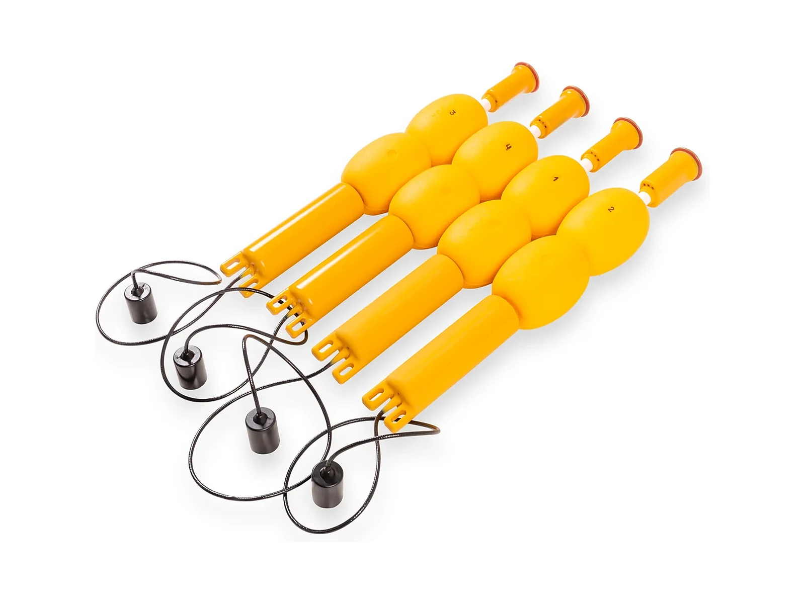
Four buoys set the frame. Under them, every receiver — on an ROV, an AUV or a diver — works out its own latitude, longitude and depth, live. No seabed stations, no calibration, no cap on the number of users.
And because it's all absolute coordinates, you can work an area methodically — see what you've covered, mark what you find and log the whole track for export. The record holds.
One array. Any number below. Every asset on the map.
Kit composition
Diver Kit array + one diver receiver (Nav or Tablet)
ROV / AUV Kit
Key numbers
Request a quote
Tell us about your project and we'll help you specify the right configuration of the AsterGrid.